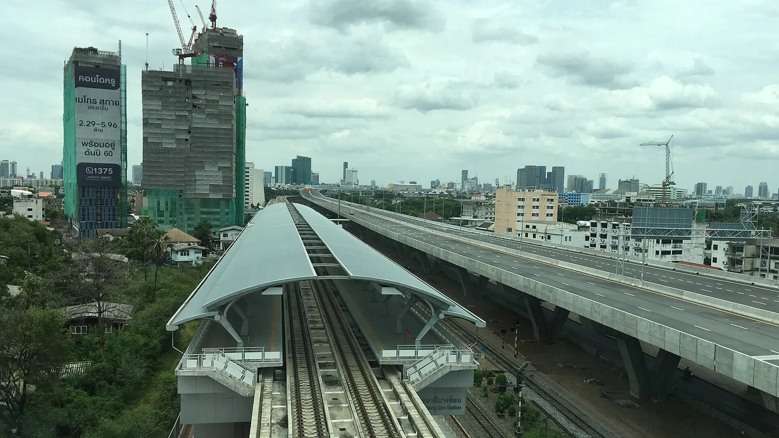

Short answer Bang Son is station PP15 on the MRT Purple line. Bangson Market is about four minutes' walk away, and the SRT Light Red platform is about six minutes' walk. Use the strip below to check the basics.
From Bang Son to Time 2 High
- RW02SRT Light Red · Bang Sonบางซ่อน
- about 1519 m on foot · 21 min
- Time 2 High · TRIPPY - วงศ์สว่างHours: ask us
- PP14or MRT Purple Wong Sawang, 14 min
- RW02Change for SRT Light Red at Bang Son, 6 min on foot
From the airport
From Suvarnabhumi (BKK) · 17 stops
- A1Suvarnabhumi airportสุวรรณภูมิ · Airport Rail Link
- 5 stops
- A6Makkasanมักกะสัน · Airport Rail Link
- walk about 405 m to Phetchaburi
- BL21Phetchaburiเพชรบุรี · MRT Blue
- 11 stops
- BL10Tao Poonเตาปูน · MRT Blue
- change to the MRT Purple, same station
- PP16Tao Poonเตาปูน · MRT Purple
- 1 stop
- PP15Bang Sonบางซ่อน · MRT Purple
From Don Mueang (DMK) · 9 stops
- RN08Don Mueang airportดอนเมือง · SRT Dark Red
- 7 stops
- RN01Krung Thep Aphiwatกรุงเทพอภิวัฒน์ · SRT Dark Red
- walk about 255 m to Bang Sue
- BL11Bang Sueบางซื่อ · MRT Blue
- 1 stop
- BL10Tao Poonเตาปูน · MRT Blue
- change to the MRT Purple, same station
- PP16Tao Poonเตาปูน · MRT Purple
- 1 stop
- PP15Bang Sonบางซ่อน · MRT Purple
Getting there and changing lines
Bang Son is on the MRT Purple line. The next station on this line is Wong Sawang. The station also connects with the SRT Light Red line, which uses the code RW02. The walk between the two lines is about six minutes, so allow extra time if you are changing trains.
Walk times here are estimates based on map distances. They are not timed walks, so your own pace may be quicker or slower.
Places nearby
- Bangson Marketตลาดบางซ่อน4 min
- Wat Wetawan Thammawatวัดเวตวันธรรมาวาส11 min
Walk times are estimates from the map (OpenStreetMap). Places listed are public; we have no deal with any of them.
Bangson Market is about 256 metres away, roughly four minutes on foot. It is a market, so it is a good place to see everyday local life. Wat Wetawan Thammawat is a temple about 763 metres away, around eleven minutes on foot.
Within 500 metres of the station, the map data shows 2 places to eat and 3 convenience shops. That makes it easy to find a snack or a few basics without going far.
Before you set off
The map data does not list any station exits, so follow the signs inside the station and check the layout on your phone as you go. Keep your route in mind for the transfer, as it is the longest part of getting between lines.